Drone Mapping Services by KAN Aerial
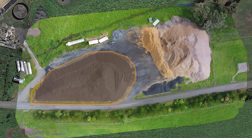
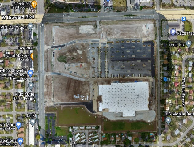
Are you in need of a highly detailed GIS-styled map of your project or acreage? Look no further than KAN Aerial for cutting-edge 2D mapping services tailored to meet your specific needs.
Innovative 2D Mapping Services
At KAN Aerial, we specialize in providing innovative 2D mapping services that are perfect for a wide range of industries including agriculture, construction, and project planning. Our services are designed to give you a comprehensive and detailed view of your designated area, ensuring that you have the information you need to make informed decisions.
What You Get
When you choose KAN Aerial for your mapping needs, you can expect to receive:
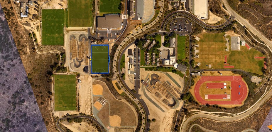
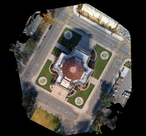
- Vastly Detailed 2D Scan: Our advanced scanning technology captures a vastly detailed 2D scan of your designated area, providing you with a wealth of information to work with.
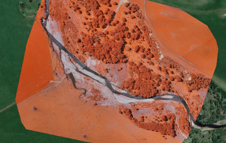
- Stitched Photos for Usable Map: We stitch together hundreds of photos to create a coherent and usable map that gives you a clear understanding of the landscape.
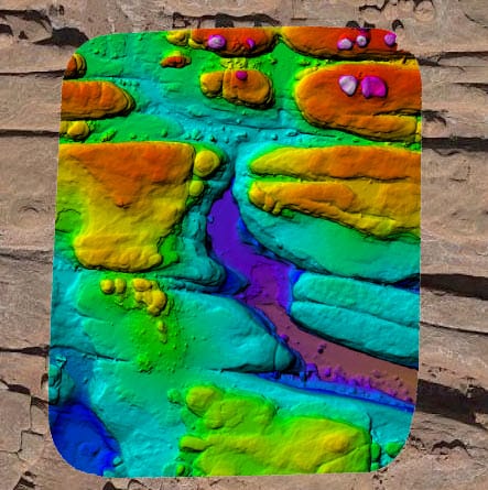
- Optional Aerial DEM Mapping: If you require digital elevation model mapping, we offer optional aerial DEM mapping to provide you with a comprehensive view of the terrain.
- High-Fidelity Mapping Access: Gain high-fidelity online and offline access to your scan, allowing you to view and analyze the map whenever and wherever you need it.
Why Choose KAN Aerial?
KAN Aerial is committed to delivering top-notch mapping services that are tailored to meet the unique needs of our clients. With our expertise and state-of-the-art technology, we ensure that you receive accurate and reliable maps that empower you to make well-informed decisions for your projects.
In need of a meticulously crafted GIS-styled map for your project or acreage? Contact KAN Aerial today to learn more about our innovative 2D mapping services and how they can benefit your business.
